Day 3 - Crane Hotsprings to Water Canyon
Well, I had a long day yesterday, and by the time I got to my campsite here in the Water Canyon BLM land, it was almost 9 pm, and I was beat. Yesterday I woke up in Crane Springs and was in the hot spring by 6:40, soaking there until the sun came up around 7:30. It was pretty lovely and cold. So cold, as a matter of fact, that my hair froze on my head. I grabbed a cup of coffee from the little cozy family room that they had there and packed up and headed out.
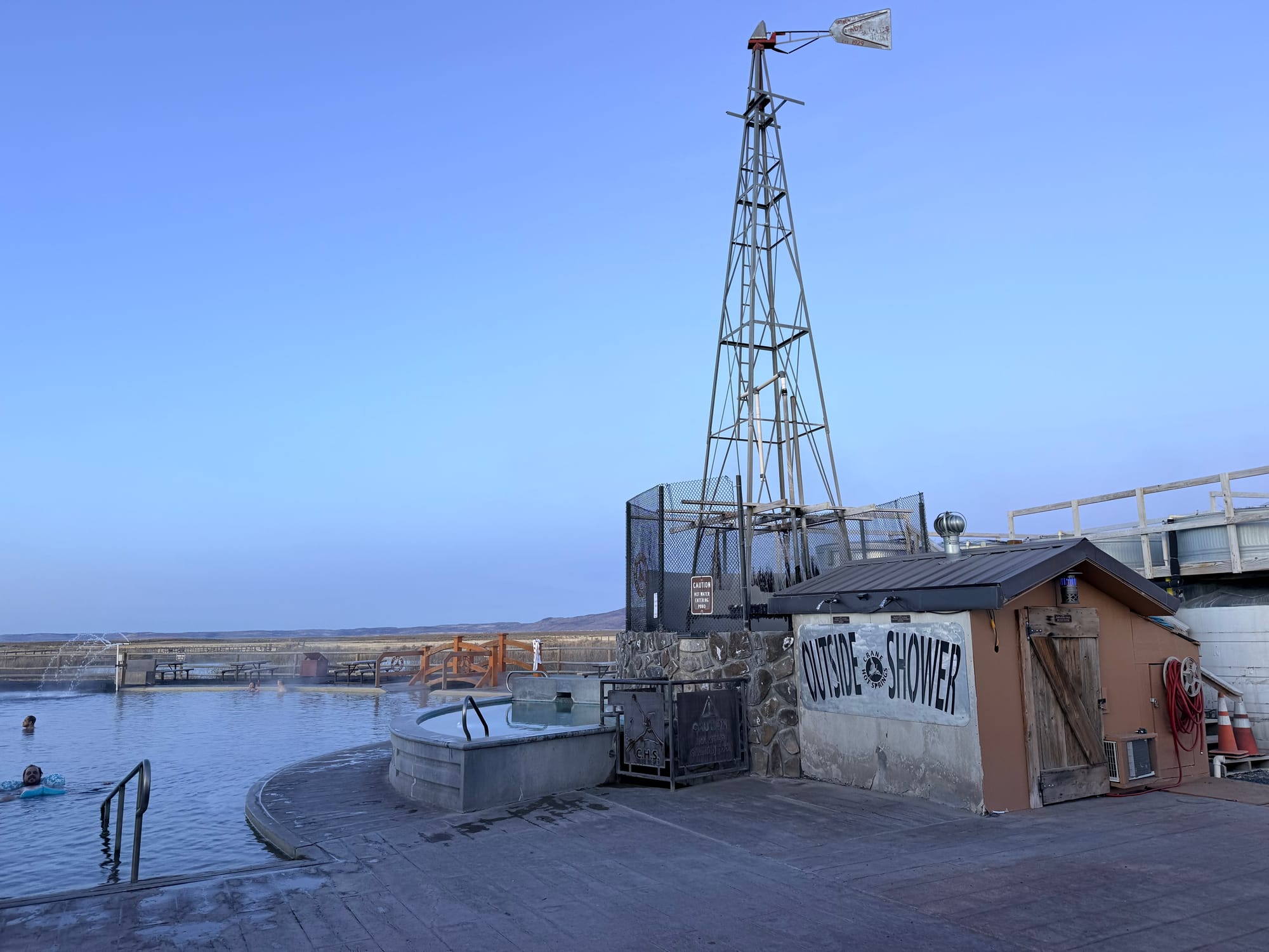
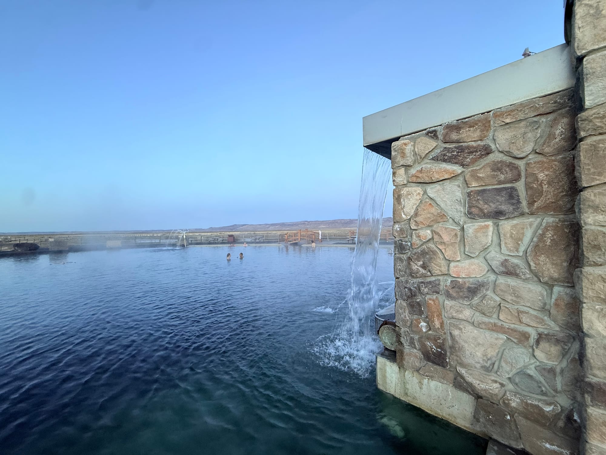
Let me talk about the Crane Hot Springs a bit. The pond is probably 40-50 yards in diameter and has a concrete apron around 50% of it. The bottom is crushed basalt, and the depth ranges from sitting on your butt with your shoulders out of the water at the shallowest, to standing upright on my knees with my shoulders out at the deepest. There are three places where they get hot water into the pond. A big central structure that has the Lobster Pot (where they keep the water at 103-105 degrees) and two more minor spots at 9 o'clock and 2 o'clock if the central area is at 12 o'clock. On either side of the central tower are concrete ramps that feed you into the pond, with grab rails, which are necessary as the algae grows and grows, and the ramps are pretty slippery. The place is open from 7 am to 10 pm every day for checking in, and the pond itself is open 24 hours. All in all, it was quite a pleasant surprise. And quite enjoyed soaking there.
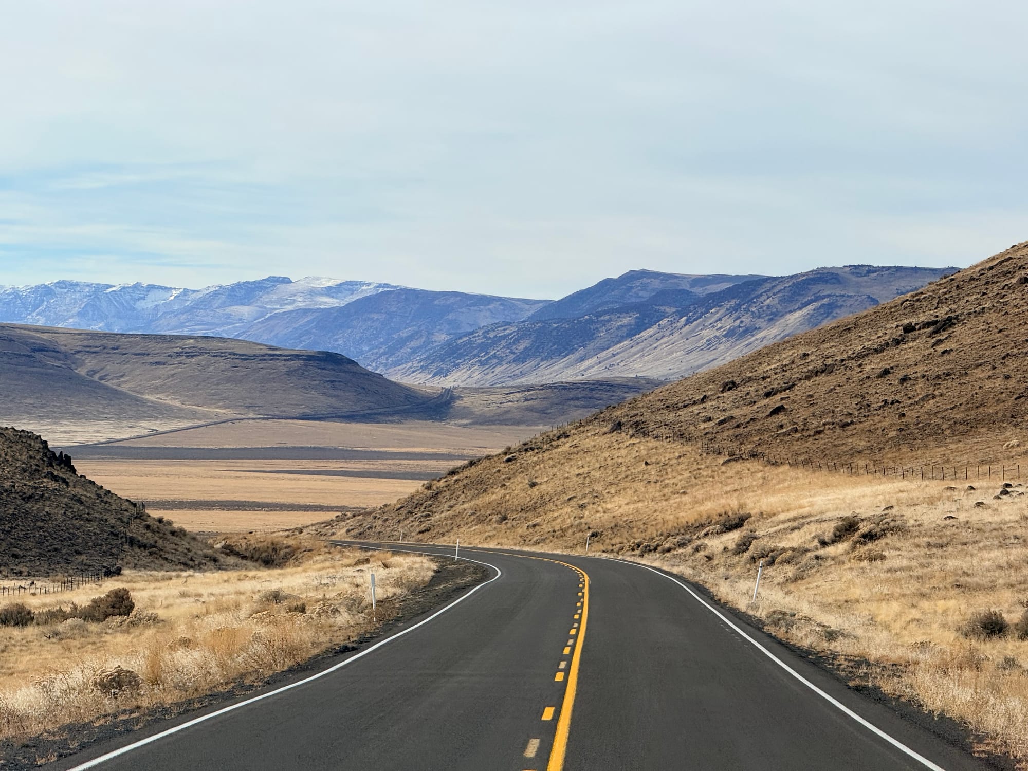
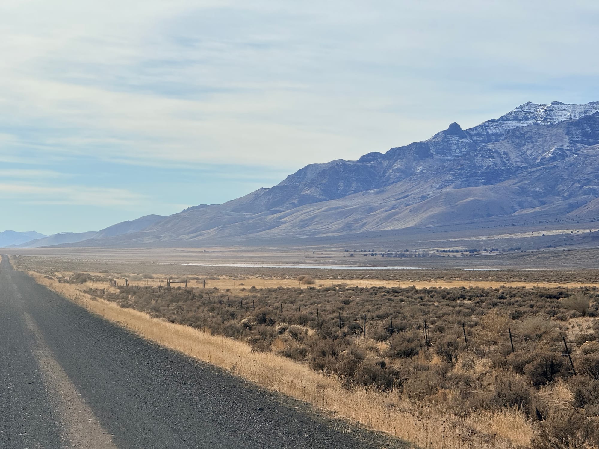
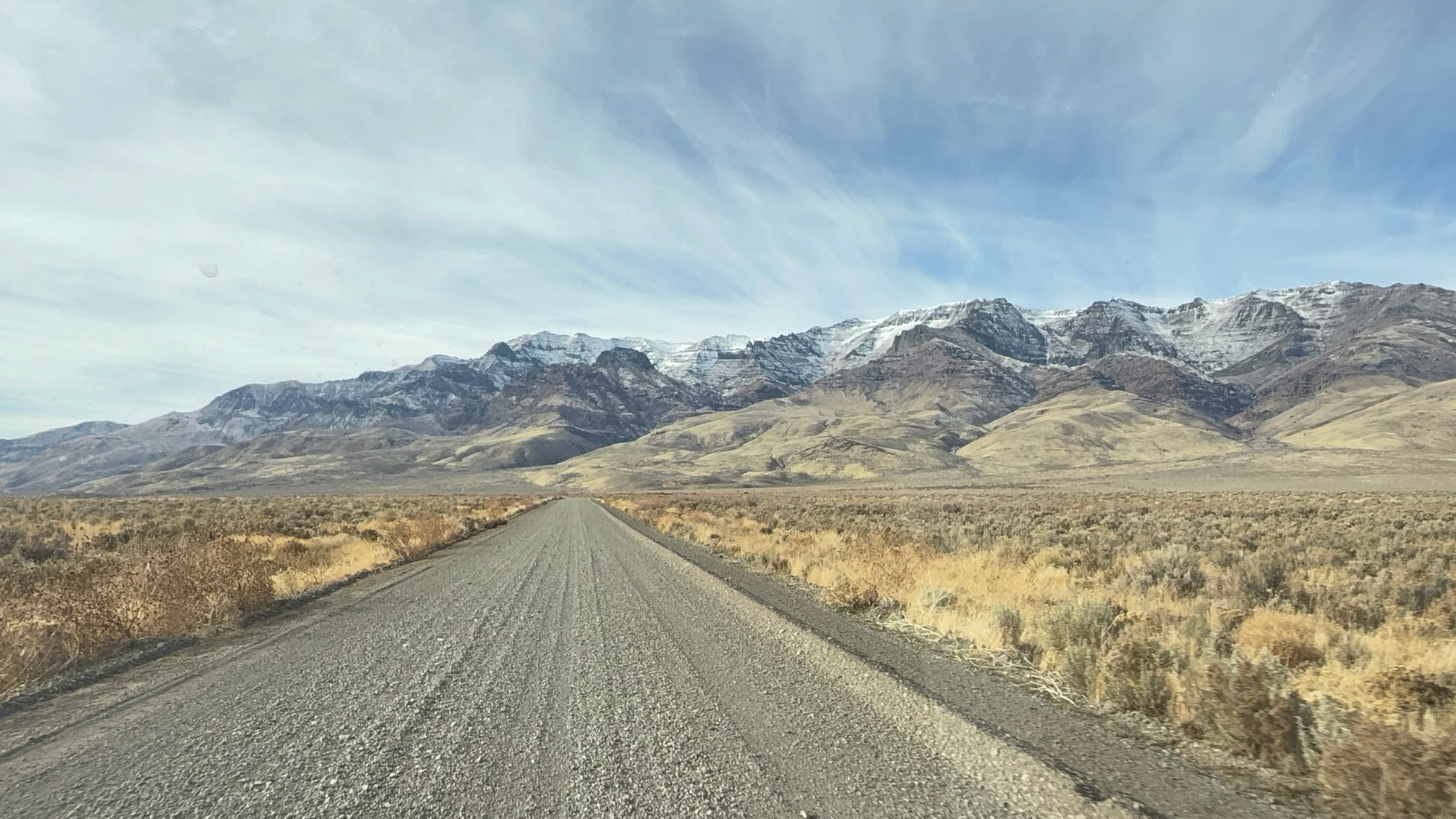
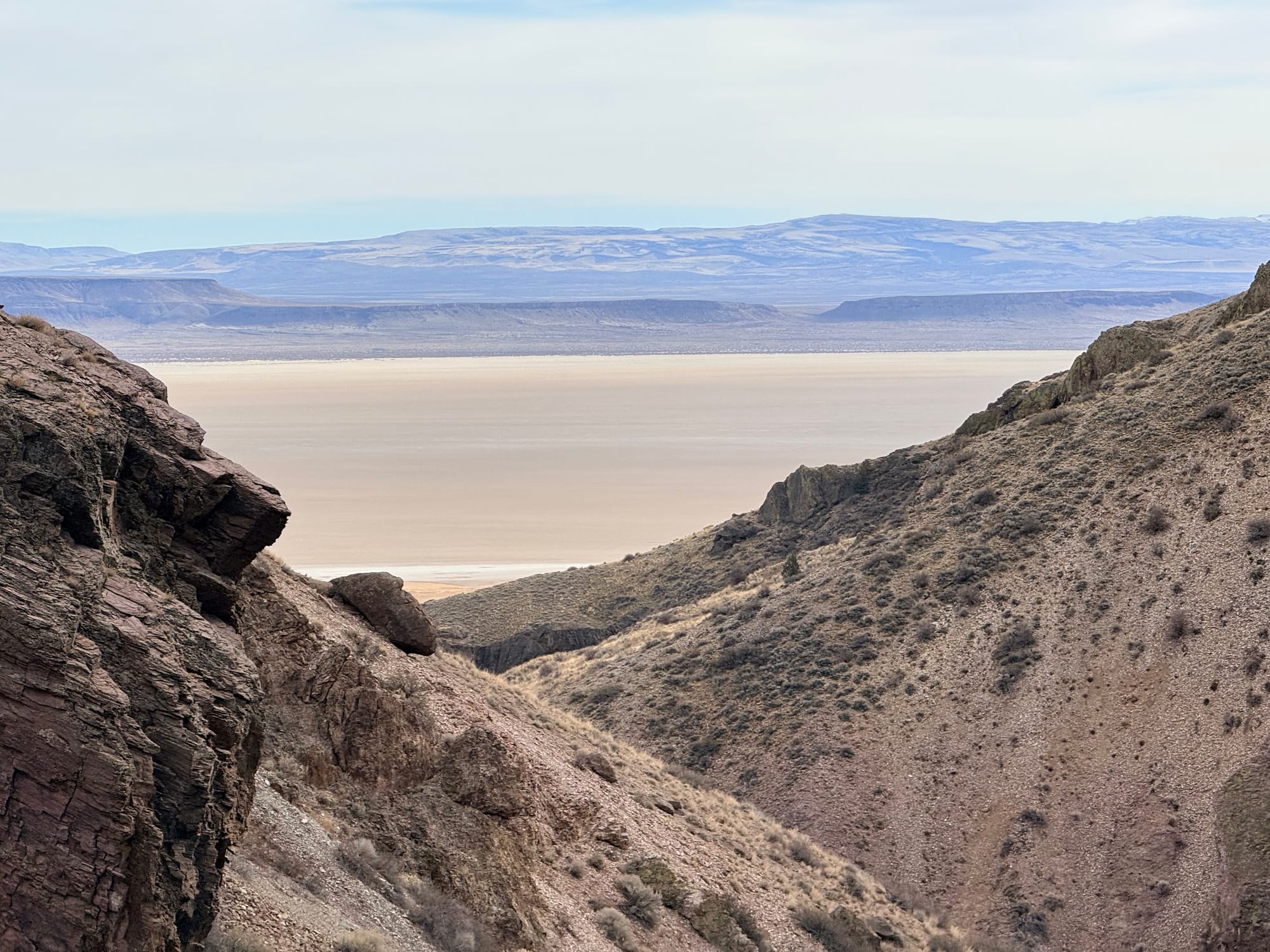
I had made a slight tactical error coming into the hot spring: I drove through Burns without topping off the fuel tank. The implications of this were that I had to travel 20 miles out and 20 miles back to fuel up for the day, as I didn't have enough fuel to make it all the way along the route that I was headed, and there were no fuel stops until beyond the range that I had on board. This has me thinking that I want to get the extended fuel tank installed before we start our 27 trip. So I got fuel at this local place, and headed out towards the Steen Mountains. Since it is winter time, I was not able to drive into the mountains themselves, so instead went along the eastern base of them, next to the Alvord Desert. There was about 28 miles of dirt road, that was pretty well maintained. I switched the suspension to setting one, and it handled it just fine, and I didn't feel too compelled to air down, although I am that would have made the ride a bit more comfortable. The weather was quite nice for the whole drive.
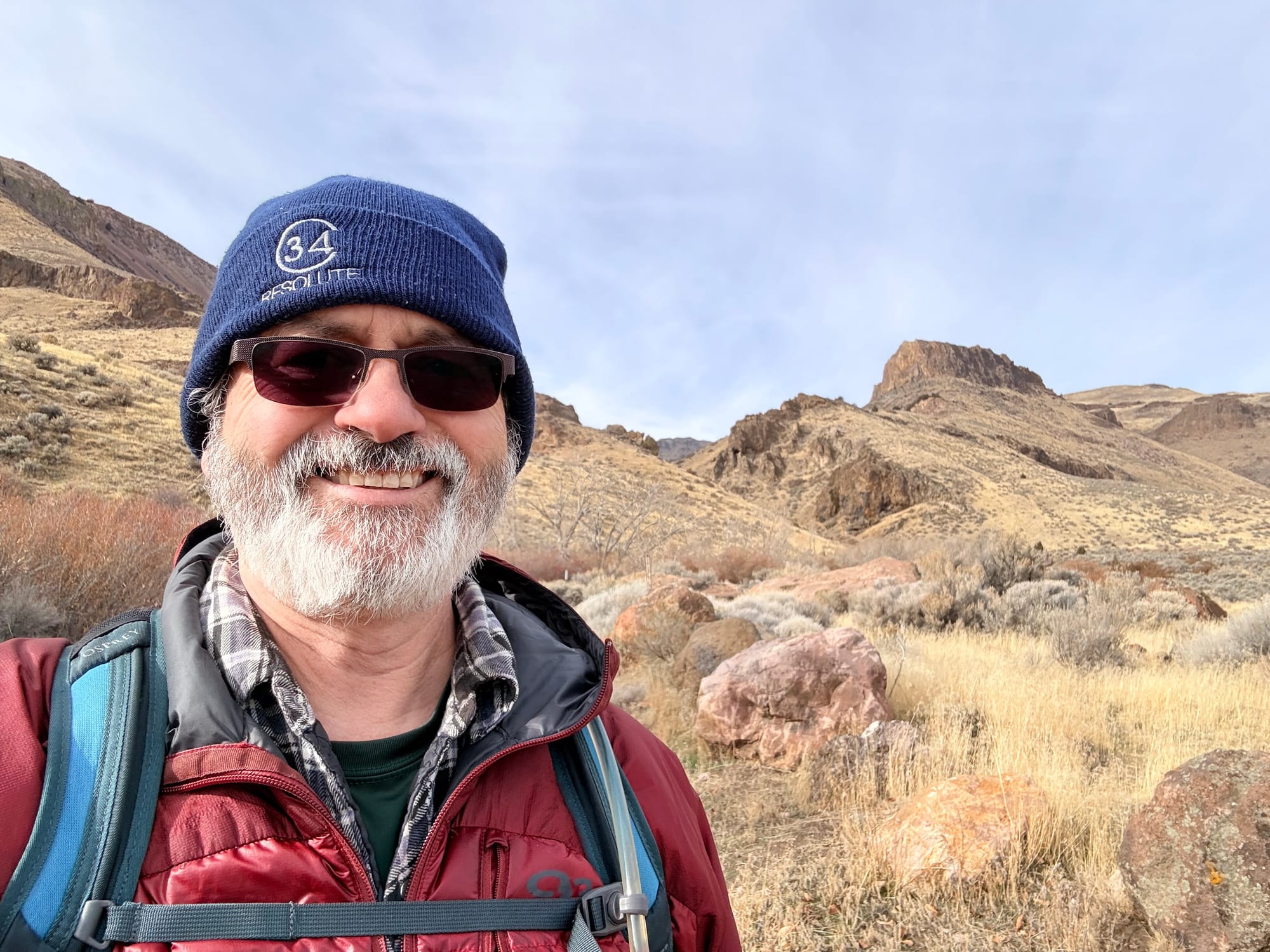
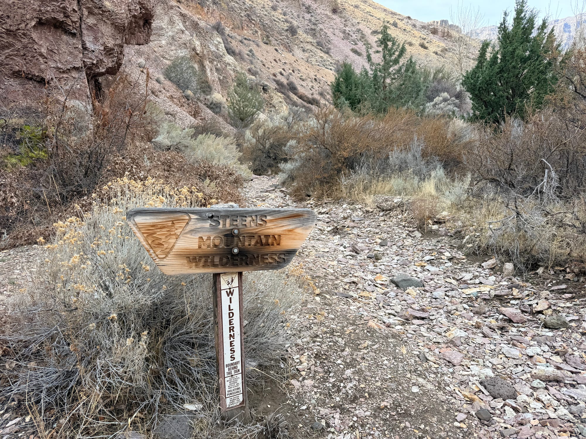
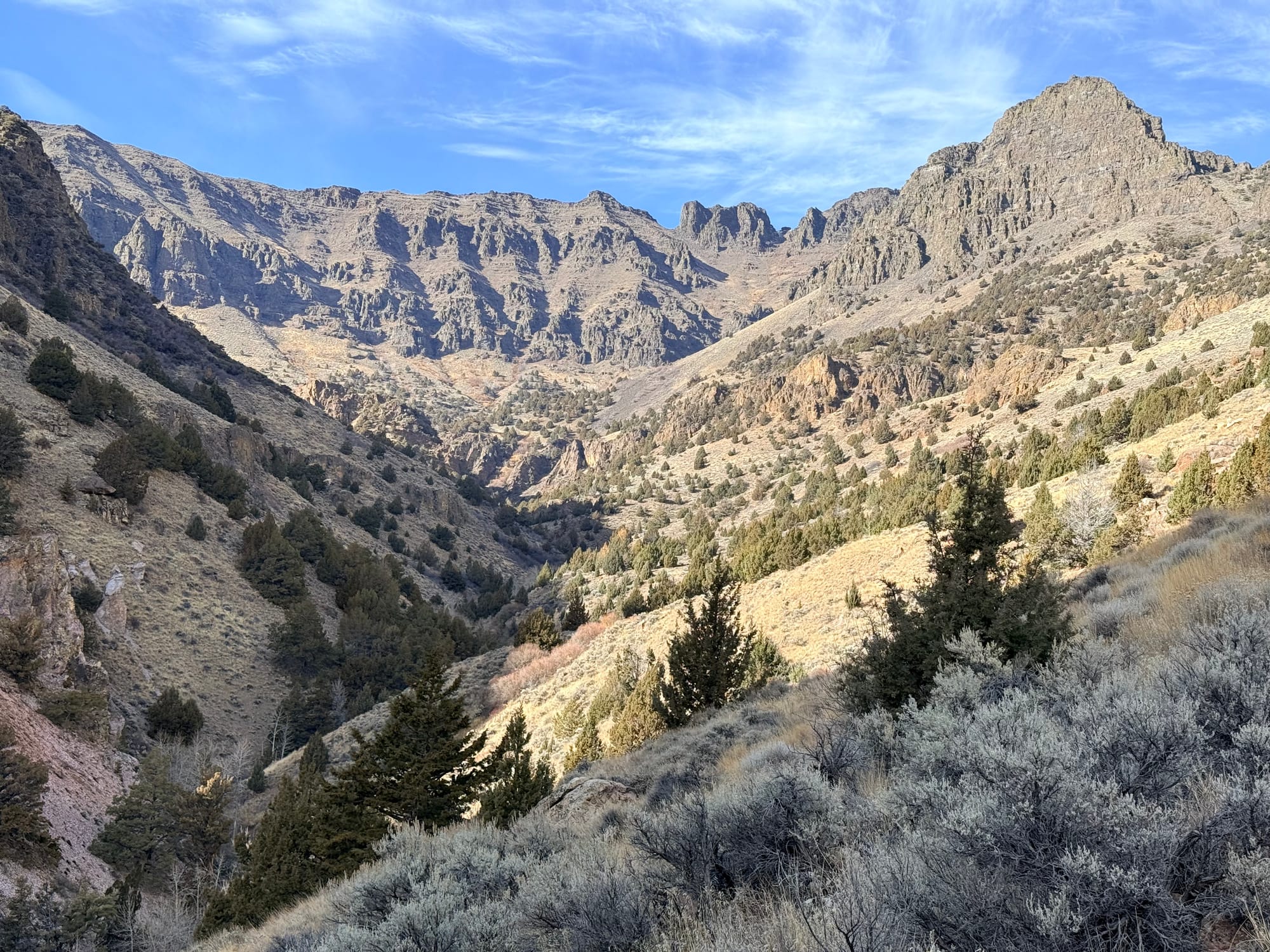
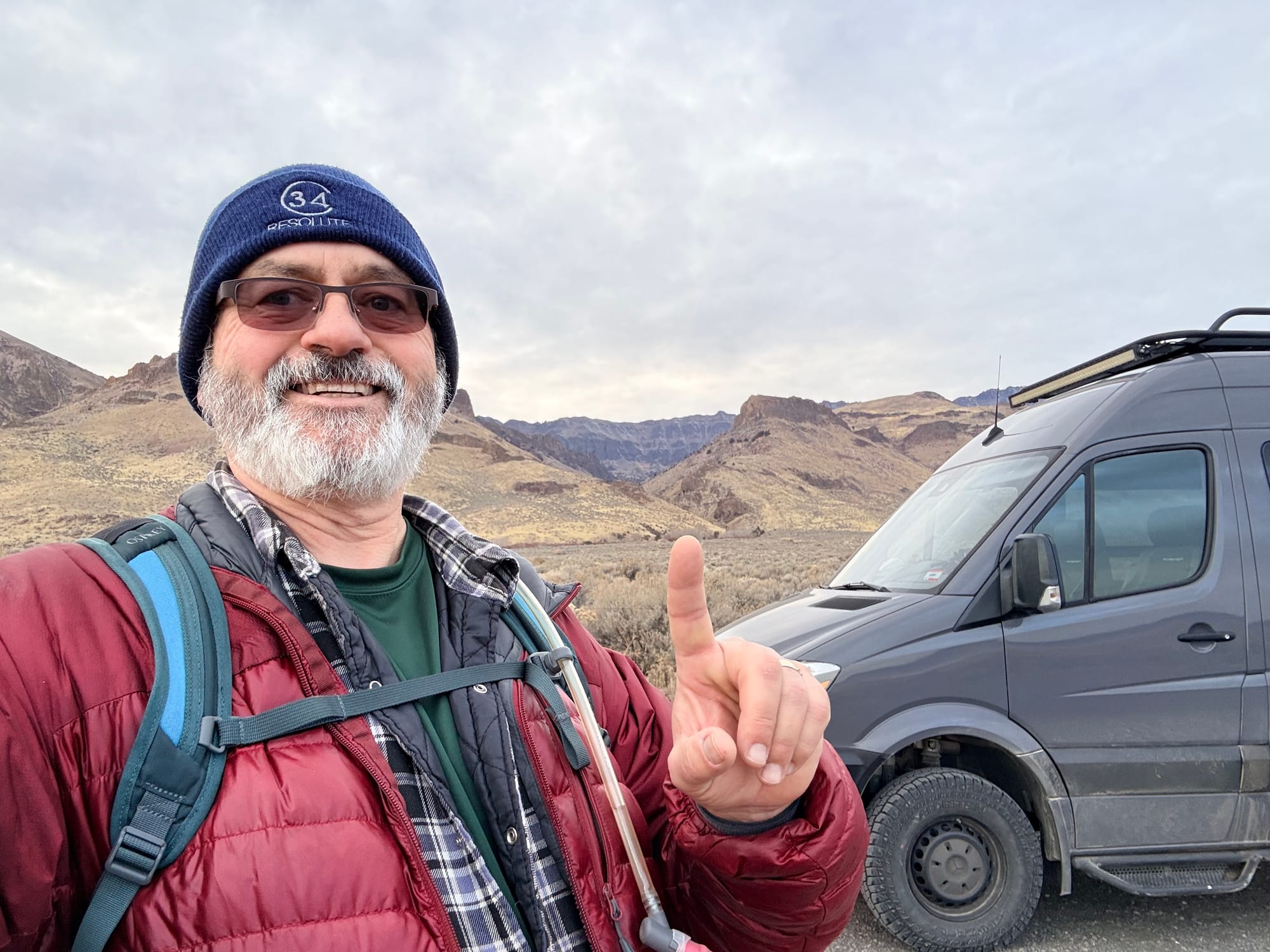
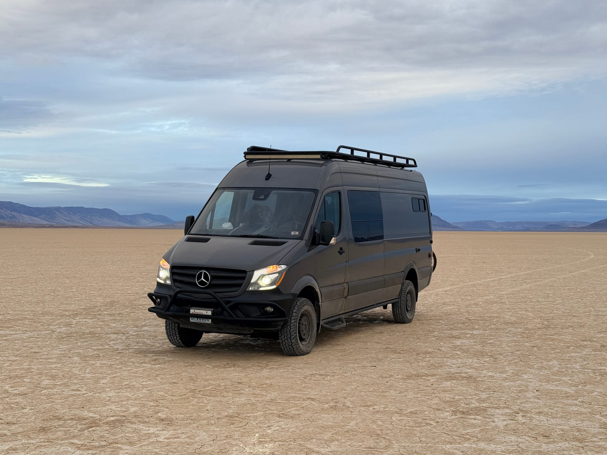
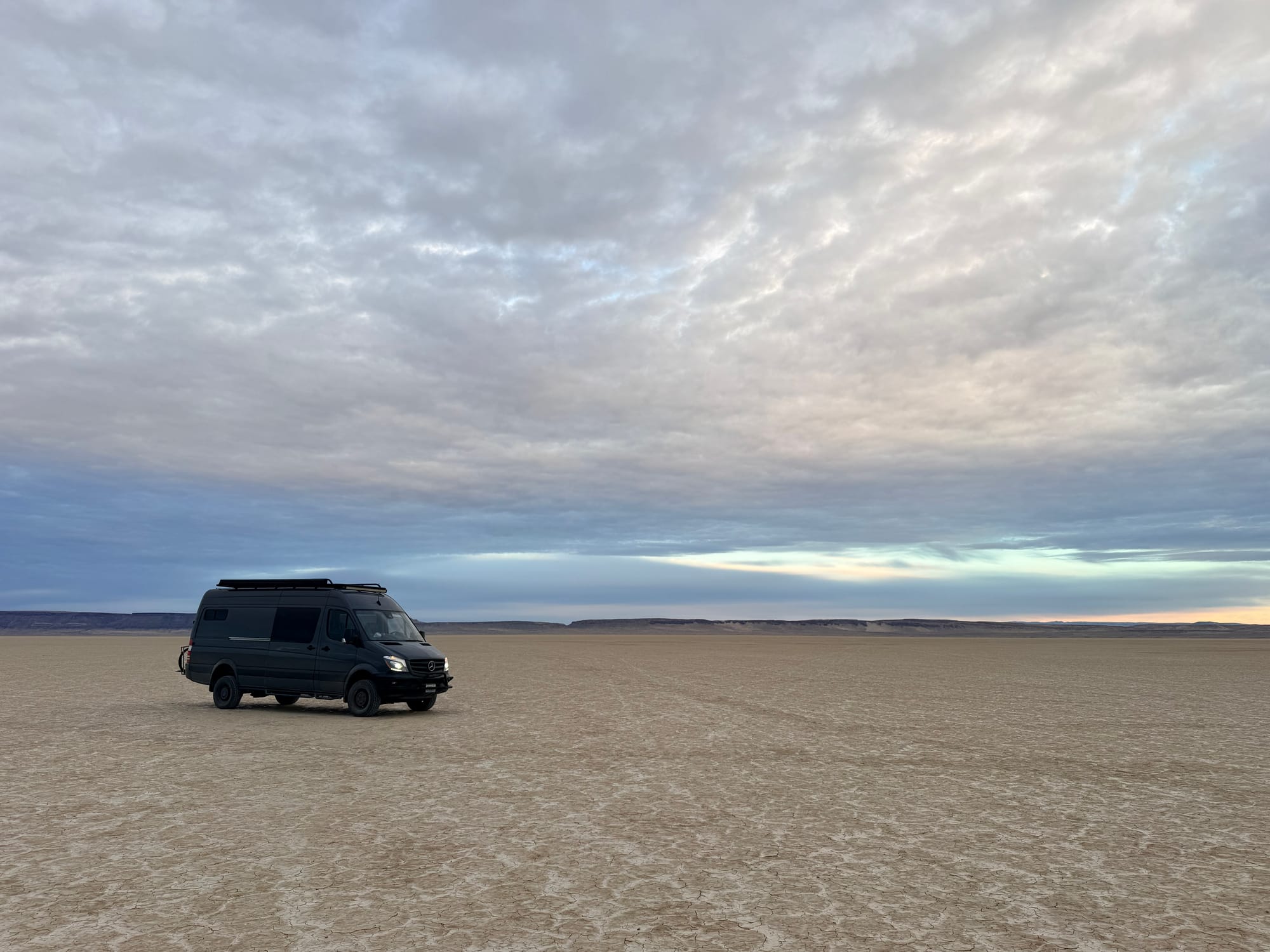
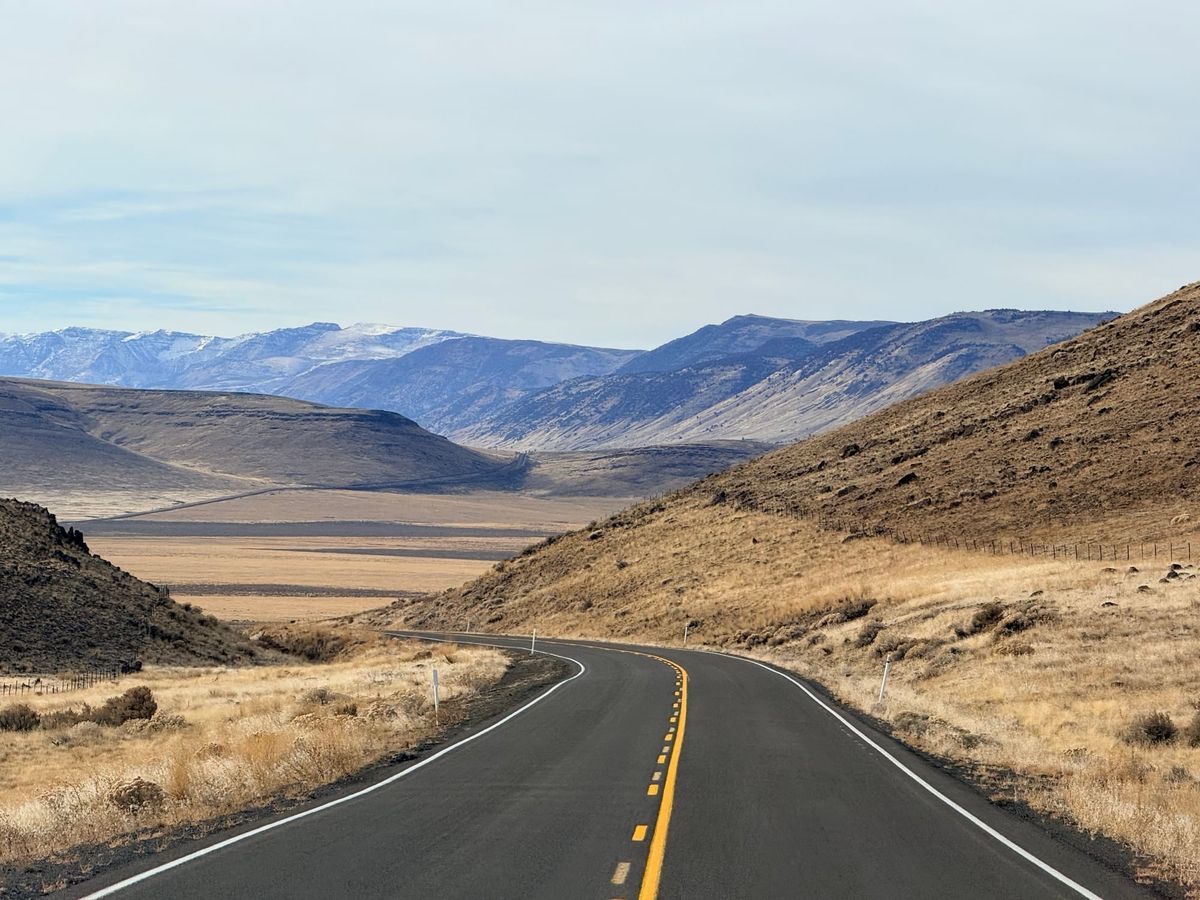
At Pike Creek I stopped and did the Pike Creek trail hike. It was a very nice hike. roughly 3.2 miles in and out, with 1,500 feet of elevation gain. It took me just over 5 hours to complete, which put a bit behind on my schedule, but I think that is fine. I got back to the van at around 3:30. and then headed for the frog spring access to the Alvord dessert. I was fortunate that it was dry and hard, so I was able to drive out onto the dry lake bed, which was kind of cool. I used this as an opportunity to get some Glamour shots of the van in middle of the lake bed, with the mountains in the background.
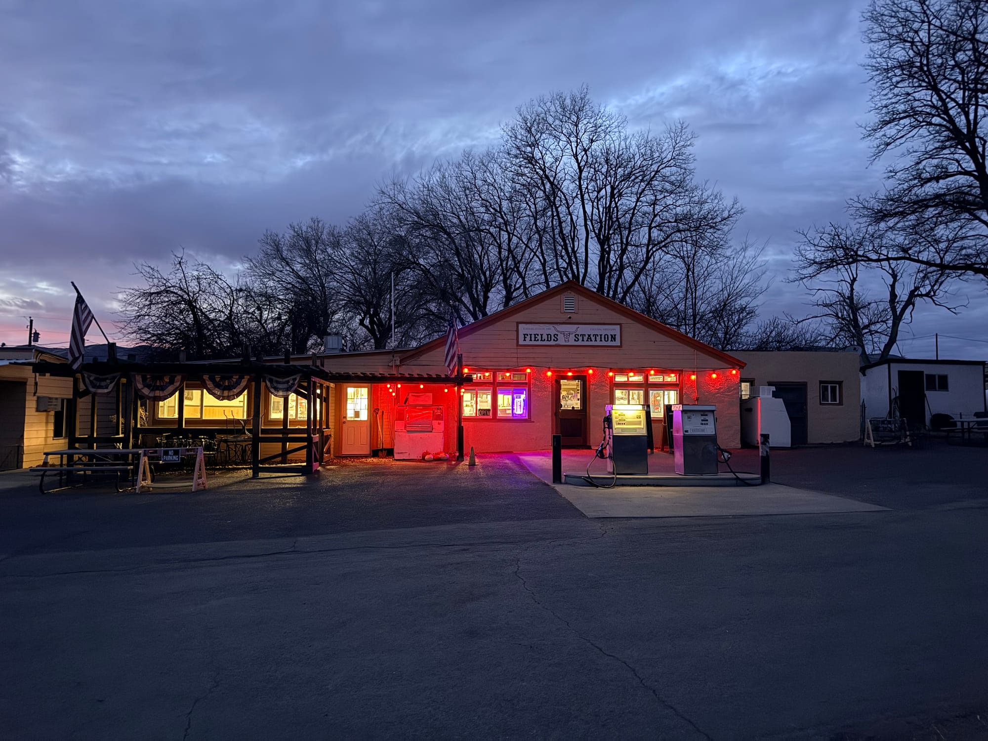
From there, I headed to Fields Station, where I stopped and picked up a Candy Bar, some corn nuts, and iced tea. And that was just because they don't do card transactions less then 10 bucks. This place is isolated, and I asked her if she was busy, and she said enough so to be open year-round.
From there, I headed to Winnemucca, driving in the dark, where I grabbed some dinner at the Martin Hotel. This place seats you family style and serves a lot of food. It is a quaint little place, and I quite liked it. I got way more food then I could eat. So I should have lunch and dinner today as well.
So I have been using Gemini to help with my planning of this trip, and we might be in the golden age of AI for these kinds of things, as it has not yet been enshitified. But we all know the day is coming when the recommendations we get from asking the AIs will all be based on advertising and paid placement. But for right now what I have done is created a Gem (which is a Gemini thing) and set that Gem up to know that I am a 60-year-old man, traveling alone in a 170" wheel base 4x4 sprinter, without recovery gear and a comfortable range of 250 miles, and I prefer boon-docking for my accommodations. And now for each day, I tell it where I am at, where I want to go, and ask it how to get to the destination most interestingly, and see something along the way. And boom, I've been getting pretty good results wtih that approach. I am able to ask it to create a google map route, and it does. This is where my attempts to do this with ChatGPT really fell apart, as it was not able to create routes in any mapping application.
We will see how well this holds up for the rest of the trip.
The hike up Pike Creek